
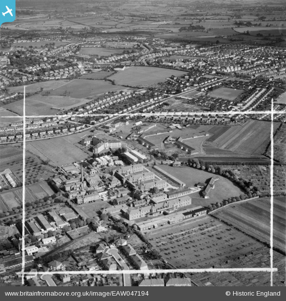
EAW047194 ENGLAND (1952). Southmead Hospital and environs, Bristol, 1952. This image was marked by Aerofilms Ltd for photo editing.
© Copyright OpenStreetMap contributors and licensed by the OpenStreetMap Foundation. 2026. Cartography is licensed as CC BY-SA.
Nearby Images (5)
EAW047194

EAW047192

EAW047191

EAW047190

EAW047193

Details
| Title | [EAW047194] Southmead Hospital and environs, Bristol, 1952. This image was marked by Aerofilms Ltd for photo editing. |
| Reference | EAW047194 |
| Date | 9-October-1952 |
| Link | |
| Place name | BRISTOL |
| Parish | |
| District | |
| Country | ENGLAND |
| Easting / Northing | 359154, 177766 |
| Longitude / Latitude | -2.588469594878, 51.496873597883 |
| National Grid Reference | ST592778 |

