
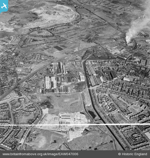
EAW047006 ENGLAND (1952). The Rubery, Owen and Co Iron Works and environs, Darlaston, 1952. This image was marked by Aerofilms Ltd for photo editing.
© Copyright OpenStreetMap contributors and licensed by the OpenStreetMap Foundation. 2026. Cartography is licensed as CC BY-SA.
Nearby Images (14)
EAW047006

EAW000763

EAW000768

EAW000766

EAW047004

EAW000769

EAW000765

EAW000767

EAW000764

EAW000762

EAW047005

EAW015301

EAW047003

EAW047007

Details
| Title | [EAW047006] The Rubery, Owen and Co Iron Works and environs, Darlaston, 1952. This image was marked by Aerofilms Ltd for photo editing. |
| Reference | EAW047006 |
| Date | 23-September-1952 |
| Link | |
| Place name | DARLASTON |
| Parish | |
| District | |
| Country | ENGLAND |
| Easting / Northing | 397419, 297910 |
| Longitude / Latitude | -2.0380929256383, 52.578640298768 |
| National Grid Reference | SO974979 |
Pins
Be the first to add a comment to this image!