
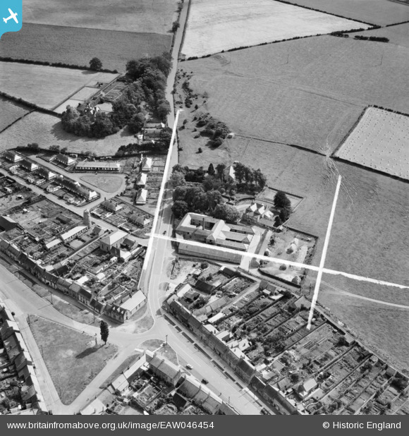
EAW046454 ENGLAND (1952). Galagate, Ubbanford and the surrounding area, Norham, 1952. This image was marked by Aerofilms Ltd for photo editing.
© Copyright OpenStreetMap contributors and licensed by the OpenStreetMap Foundation. 2025. Cartography is licensed as CC BY-SA.
Nearby Images (8)
EAW046454

EAW046457

EAW046453

EAW046456

EAW046455

EAW046450

EAW046452

EAW046451

Details
| Title | [EAW046454] Galagate, Ubbanford and the surrounding area, Norham, 1952. This image was marked by Aerofilms Ltd for photo editing. |
| Reference | EAW046454 |
| Date | 25-August-1952 |
| Link | |
| Place name | NORHAM |
| Parish | NORHAM |
| District | |
| Country | ENGLAND |
| Easting / Northing | 390041, 647214 |
| Longitude / Latitude | -2.1585458118353, 55.718261106916 |
| National Grid Reference | NT900472 |
Pins
Be the first to add a comment to this image!