
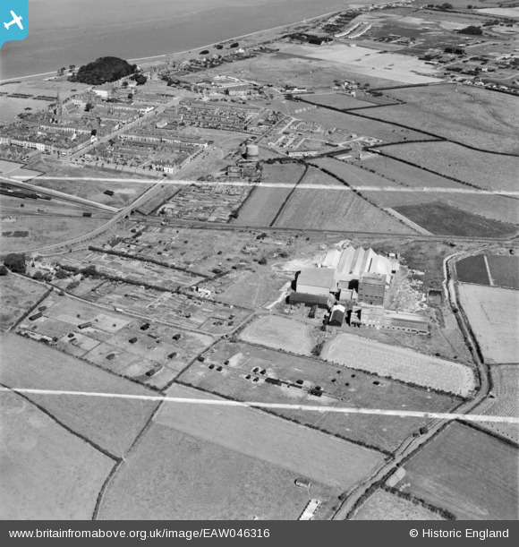
EAW046316 ENGLAND (1952). The Fisons Ltd factory and the town, Silloth, 1952. This image was marked by Aerofilms Ltd for photo editing.
© Copyright OpenStreetMap contributors and licensed by the OpenStreetMap Foundation. 2025. Cartography is licensed as CC BY-SA.
Nearby Images (6)
EAW046316

EAW046321

EAW046319

EAW046317

EAW046318

EAW046315

Details
| Title | [EAW046316] The Fisons Ltd factory and the town, Silloth, 1952. This image was marked by Aerofilms Ltd for photo editing. |
| Reference | EAW046316 |
| Date | 21-August-1952 |
| Link | |
| Place name | SILLOTH |
| Parish | SILLOTH-ON-SOLWAY |
| District | |
| Country | ENGLAND |
| Easting / Northing | 311281, 553151 |
| Longitude / Latitude | -3.3824638504941, 54.865172228412 |
| National Grid Reference | NY113532 |
Pins

Matt Aldred edob.mattaldred.com |
Wednesday 2nd of October 2024 03:16:34 PM | |
|
Matt Aldred edob.mattaldred.com |
Wednesday 2nd of October 2024 03:13:48 PM |