
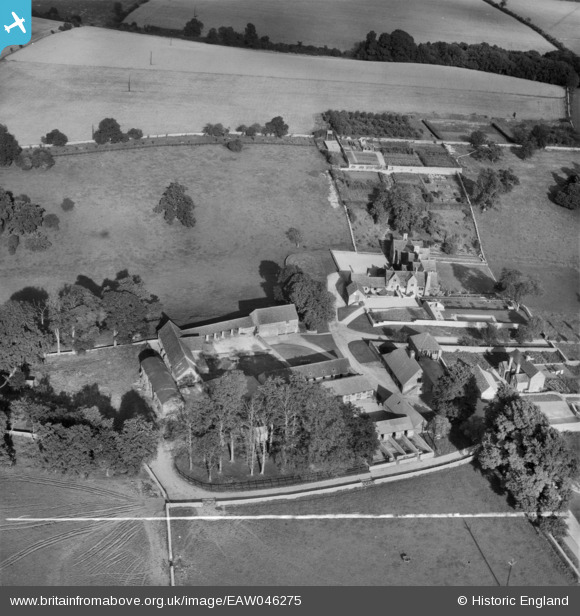
EAW046275 ENGLAND (1952). Hazleton Manor Farm, Rodmarton, 1952. This image was marked by Aerofilms Ltd for photo editing.
© Copyright OpenStreetMap contributors and licensed by the OpenStreetMap Foundation. 2025. Cartography is licensed as CC BY-SA.
Nearby Images (6)
EAW046275

EAW046276

EAW046278

EAW046274

EAW046277

EAW046273

Details
| Title | [EAW046275] Hazleton Manor Farm, Rodmarton, 1952. This image was marked by Aerofilms Ltd for photo editing. |
| Reference | EAW046275 |
| Date | 25-August-1952 |
| Link | |
| Place name | RODMARTON |
| Parish | RODMARTON |
| District | |
| Country | ENGLAND |
| Easting / Northing | 392956, 198367 |
| Longitude / Latitude | -2.1018995541875, 51.683557327412 |
| National Grid Reference | ST930984 |
Pins
Be the first to add a comment to this image!