
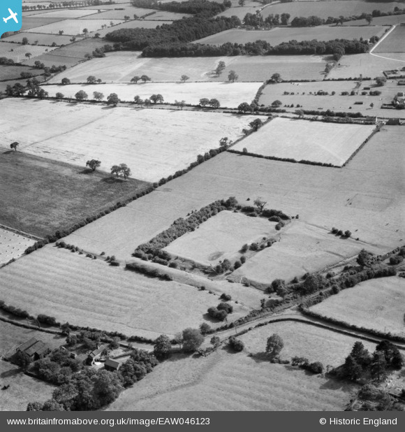
EAW046123 ENGLAND (1952). Brocket Hall moated site, Appleton Roebuck, 1952
© Copyright OpenStreetMap contributors and licensed by the OpenStreetMap Foundation. 2026. Cartography is licensed as CC BY-SA.
Nearby Images (5)
EAW046123

EAW046124

EAW046122

EAW046120

EAW046121

Details
| Title | [EAW046123] Brocket Hall moated site, Appleton Roebuck, 1952 |
| Reference | EAW046123 |
| Date | 22-August-1952 |
| Link | |
| Place name | APPLETON ROEBUCK |
| Parish | APPLETON ROEBUCK |
| District | |
| Country | ENGLAND |
| Easting / Northing | 455704, 442040 |
| Longitude / Latitude | -1.1527185495392, 53.871366805552 |
| National Grid Reference | SE557420 |
Pins
Be the first to add a comment to this image!