
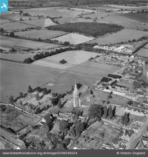
EAW046024 ENGLAND (1952). All Saints' Church and Home Farm, Brixworth, 1952
© Copyright OpenStreetMap contributors and licensed by the OpenStreetMap Foundation. 2026. Cartography is licensed as CC BY-SA.
Nearby Images (5)
EAW046024

EAW046028

EAW046027

EAW046025

EAW046026

Details
| Title | [EAW046024] All Saints' Church and Home Farm, Brixworth, 1952 |
| Reference | EAW046024 |
| Date | 22-August-1952 |
| Link | |
| Place name | BRIXWORTH |
| Parish | BRIXWORTH |
| District | |
| Country | ENGLAND |
| Easting / Northing | 474834, 271306 |
| Longitude / Latitude | -0.90160504868811, 52.334343201075 |
| National Grid Reference | SP748713 |
Pins
Be the first to add a comment to this image!