
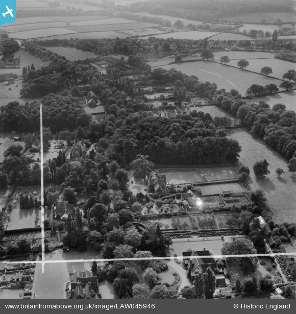
EAW045946 ENGLAND (1952). Properties along The Ridgeway, Rothley, 1952. This image was marked by Aerofilms Ltd for photo editing.
© Copyright OpenStreetMap contributors and licensed by the OpenStreetMap Foundation. 2026. Cartography is licensed as CC BY-SA.
Nearby Images (15)
EAW045946

EAW045947

EAW045944

EAW045948

EAW045949

EPW050387

EAW045945

EPW050384

EPW050385

EPW050383

EPW050386

EPW050381

EPW050380

EPW050382

EPW050379

Details
| Title | [EAW045946] Properties along The Ridgeway, Rothley, 1952. This image was marked by Aerofilms Ltd for photo editing. |
| Reference | EAW045946 |
| Date | 14-August-1952 |
| Link | |
| Place name | ROTHLEY |
| Parish | ROTHLEY |
| District | |
| Country | ENGLAND |
| Easting / Northing | 457357, 312653 |
| Longitude / Latitude | -1.1509566938161, 52.708157372782 |
| National Grid Reference | SK574127 |
Pins
Be the first to add a comment to this image!