
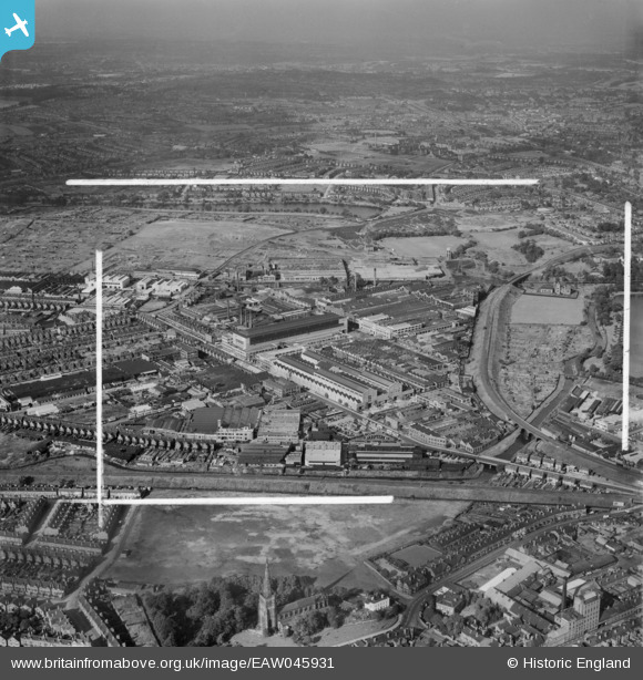
EAW045931 ENGLAND (1952). The General Electric Co Ltd Witton Works and environs, Witton, from the south-west, 1952. This image was marked by Aerofilms Ltd for photo editing.
© Copyright OpenStreetMap contributors and licensed by the OpenStreetMap Foundation. 2026. Cartography is licensed as CC BY-SA.
Nearby Images (5)
EAW045931

EAW045929

EAW045927

EAW045928

EPW031383

Details
| Title | [EAW045931] The General Electric Co Ltd Witton Works and environs, Witton, from the south-west, 1952. This image was marked by Aerofilms Ltd for photo editing. |
| Reference | EAW045931 |
| Date | 14-August-1952 |
| Link | |
| Place name | WITTON |
| Parish | |
| District | |
| Country | ENGLAND |
| Easting / Northing | 408406, 290150 |
| Longitude / Latitude | -1.8761327124514, 52.508812137993 |
| National Grid Reference | SP084902 |
Pins
Be the first to add a comment to this image!