
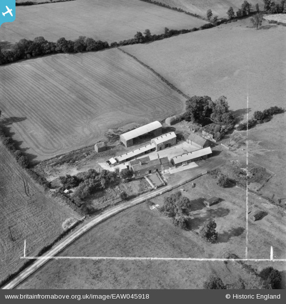
EAW045918 ENGLAND (1952). Rushey Fields Farm, Woodhouse, 1952. This image was marked by Aerofilms Ltd for photo editing.
© Copyright OpenStreetMap contributors and licensed by the OpenStreetMap Foundation. 2025. Cartography is licensed as CC BY-SA.
Nearby Images (7)
EAW045918

EAW045917

EAW045919

EAW045923

EAW045921

EAW045922

EAW045920

Details
| Title | [EAW045918] Rushey Fields Farm, Woodhouse, 1952. This image was marked by Aerofilms Ltd for photo editing. |
| Reference | EAW045918 |
| Date | 14-August-1952 |
| Link | |
| Place name | WOODHOUSE |
| Parish | WOODHOUSE |
| District | |
| Country | ENGLAND |
| Easting / Northing | 454325, 314250 |
| Longitude / Latitude | -1.1955697194198, 52.722826886833 |
| National Grid Reference | SK543143 |
Pins
Be the first to add a comment to this image!