
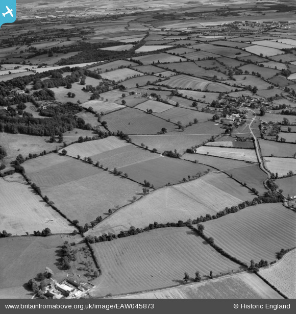
EAW045873 ENGLAND (1952). Countryside to the north and west of the village, Wyck Rissington, 1952
© Copyright OpenStreetMap contributors and licensed by the OpenStreetMap Foundation. 2026. Cartography is licensed as CC BY-SA.
Nearby Images (2)
EAW045873

 0°
0m
0°
0m
EAW045874
 286°
83m
286°
83m
Details
| Title | [EAW045873] Countryside to the north and west of the village, Wyck Rissington, 1952 |
| Reference | EAW045873 |
| Date | 13-August-1952 |
| Link | |
| Place name | WYCK RISSINGTON |
| Parish | WICK RISSINGTON |
| District | |
| Country | ENGLAND |
| Easting / Northing | 418930, 222209 |
| Longitude / Latitude | -1.7248558361821, 51.897668620031 |
| National Grid Reference | SP189222 |
Pins
 Village of Wyck Rissington, Gloucestershire Village of Wyck Rissington, Gloucestershire |

bernoullis |
Thursday 3rd of September 2026 10:38:52 AM |
| Airfield and hangars of RAF Little Rissington, Gloucestershire |
bernoullis |
Thursday 3rd of September 2026 10:38:29 AM |