
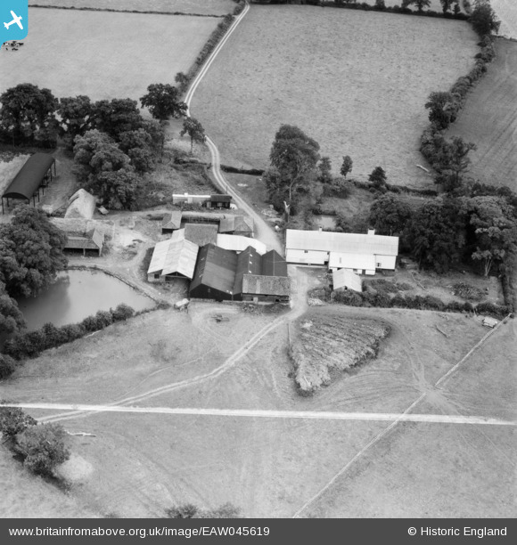
EAW045619 ENGLAND (1952). Church Farm, Cratfield, 1952. This image was marked by Aerofilms Ltd for photo editing.
© Copyright OpenStreetMap contributors and licensed by the OpenStreetMap Foundation. 2025. Cartography is licensed as CC BY-SA.
Nearby Images (8)
EAW045619

EAW045616

EAW045617

EAW045618

EAW045615

EAW047625

EAW047618

EAW047617

Details
| Title | [EAW045619] Church Farm, Cratfield, 1952. This image was marked by Aerofilms Ltd for photo editing. |
| Reference | EAW045619 |
| Date | 31-July-1952 |
| Link | |
| Place name | CRATFIELD |
| Parish | LINSTEAD MAGNA |
| District | |
| Country | ENGLAND |
| Easting / Northing | 631461, 276414 |
| Longitude / Latitude | 1.3979438518574, 52.336499905377 |
| National Grid Reference | TM315764 |
Pins
Be the first to add a comment to this image!