
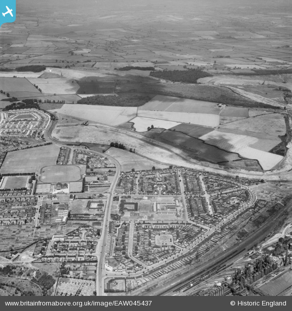
EAW045437 ENGLAND (1952). The residential area surrounding Franklin Fields, Corby, from the south-east, 1952
© Copyright OpenStreetMap contributors and licensed by the OpenStreetMap Foundation. 2025. Cartography is licensed as CC BY-SA.
Nearby Images (2)
EAW045437

EAW045452

Details
| Title | [EAW045437] The residential area surrounding Franklin Fields, Corby, from the south-east, 1952 |
| Reference | EAW045437 |
| Date | 6-August-1952 |
| Link | |
| Place name | CORBY |
| Parish | |
| District | |
| Country | ENGLAND |
| Easting / Northing | 489282, 289649 |
| Longitude / Latitude | -0.68469912277769, 52.497062337342 |
| National Grid Reference | SP893896 |
