
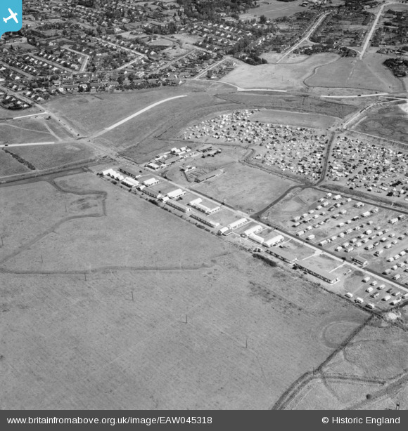
EAW045318 ENGLAND (1952). Thorney Bay Camp and environs, Canvey Island, 1952
© Copyright OpenStreetMap contributors and licensed by the OpenStreetMap Foundation. 2026. Cartography is licensed as CC BY-SA.
Nearby Images (13)
EAW045318

EAW051060

EAW045319

EAW051059

EAW026914

EAW051063

EAW051062

EAW045317

EAW051061

EAW045334

EAW045320

EAW026913

EAW051019

Details
| Title | [EAW045318] Thorney Bay Camp and environs, Canvey Island, 1952 |
| Reference | EAW045318 |
| Date | 2-August-1952 |
| Link | |
| Place name | CANVEY ISLAND |
| Parish | CANVEY ISLAND |
| District | |
| Country | ENGLAND |
| Easting / Northing | 579155, 182540 |
| Longitude / Latitude | 0.58218098678916, 51.512855227927 |
| National Grid Reference | TQ792825 |
Pins

redmist |
Saturday 28th of January 2023 09:01:10 PM |