
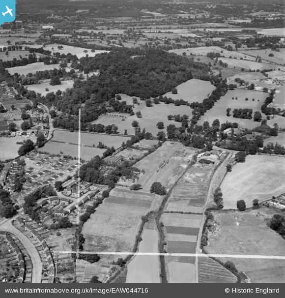
EAW044716 ENGLAND (1952). The Bourne and St Anne's Hill, Chertsey, from the east, 1952. This image was marked by Aerofilms Ltd for photo editing.
© Copyright OpenStreetMap contributors and licensed by the OpenStreetMap Foundation. 2026. Cartography is licensed as CC BY-SA.
Nearby Images (8)
EAW044716

EAW044722

EAW044714

EAW044719

EAW044723

EAW044720

EAW044715

EAW044717

Details
| Title | [EAW044716] The Bourne and St Anne's Hill, Chertsey, from the east, 1952. This image was marked by Aerofilms Ltd for photo editing. |
| Reference | EAW044716 |
| Date | 22-July-1952 |
| Link | |
| Place name | CHERTSEY |
| Parish | |
| District | |
| Country | ENGLAND |
| Easting / Northing | 503617, 166952 |
| Longitude / Latitude | -0.51058274519639, 51.391639039404 |
| National Grid Reference | TQ036670 |
Pins

bumblee |
Wednesday 7th of January 2015 04:15:49 PM |