
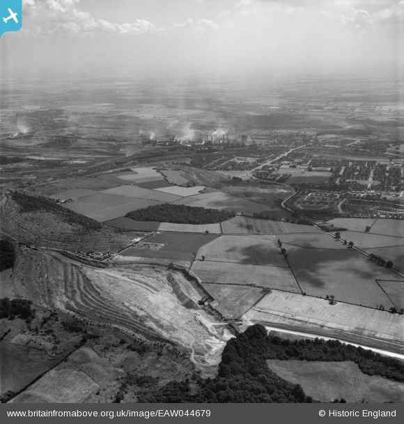
EAW044679 ENGLAND (1952). Ironstone quarries, Prince Wood and the town, Corby, from the north-west, 1952
© Copyright OpenStreetMap contributors and licensed by the OpenStreetMap Foundation. 2025. Cartography is licensed as CC BY-SA.
Nearby Images (3)
EAW044679

EAW045484

EAW045484A

Details
| Title | [EAW044679] Ironstone quarries, Prince Wood and the town, Corby, from the north-west, 1952 |
| Reference | EAW044679 |
| Date | 22-July-1952 |
| Link | |
| Place name | CORBY |
| Parish | |
| District | |
| Country | ENGLAND |
| Easting / Northing | 487936, 291157 |
| Longitude / Latitude | -0.70412420994979, 52.51083596863 |
| National Grid Reference | SP879912 |
Pins

Matt Aldred edob.mattaldred.com |
Sunday 25th of October 2020 08:53:12 PM | |

Michael Mahon |
Sunday 11th of October 2015 09:05:51 PM |