
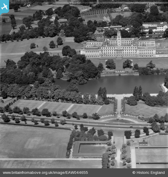
EAW044655 ENGLAND (1952). The Trent Building and University Park, Nottingham, 1952
© Copyright OpenStreetMap contributors and licensed by the OpenStreetMap Foundation. 2026. Cartography is licensed as CC BY-SA.
Nearby Images (20)
EAW044655

EPW021063

EPW019367

EPW019368

EPW019369

EPW021062

EPW021066

EPW021065

EPW019366

EPW021064

EPW019370

EPW021069

EAW006394

EAW006392

EPW021067

EPW020938

EPW021068

EPW021070

EAW006393

EPW021071

Details
| Title | [EAW044655] The Trent Building and University Park, Nottingham, 1952 |
| Reference | EAW044655 |
| Date | 15-July-1952 |
| Link | |
| Place name | NOTTINGHAM |
| Parish | |
| District | |
| Country | ENGLAND |
| Easting / Northing | 454169, 337889 |
| Longitude / Latitude | -1.1939556935169, 52.935347466507 |
| National Grid Reference | SK542379 |
Pins
Be the first to add a comment to this image!