
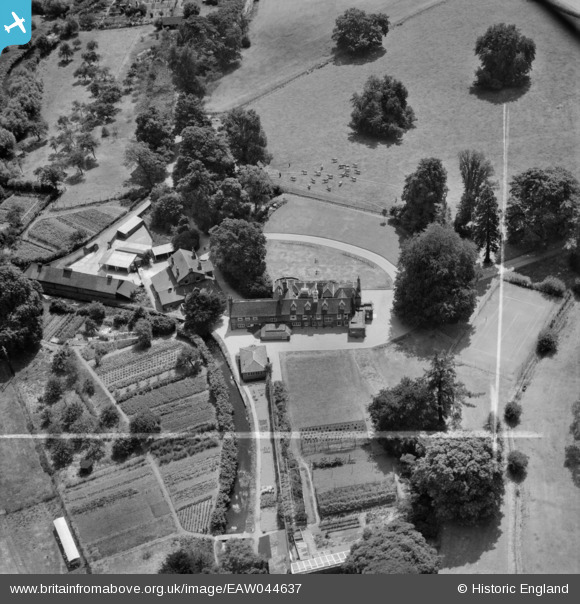
EAW044637 ENGLAND (1952). Bush Hall, Hatfield, 1952. This image was marked by Aerofilms Ltd for photo editing.
© Copyright OpenStreetMap contributors and licensed by the OpenStreetMap Foundation. 2025. Cartography is licensed as CC BY-SA.
Nearby Images (7)
EAW044637

EAW044636

EAW044639

EAW044635

EAW044633

EAW044638

EAW044634

Details
| Title | [EAW044637] Bush Hall, Hatfield, 1952. This image was marked by Aerofilms Ltd for photo editing. |
| Reference | EAW044637 |
| Date | 22-July-1952 |
| Link | |
| Place name | HATFIELD |
| Parish | HATFIELD |
| District | |
| Country | ENGLAND |
| Easting / Northing | 523796, 209974 |
| Longitude / Latitude | -0.20549182341622, 51.774276764896 |
| National Grid Reference | TL238100 |
Pins
Be the first to add a comment to this image!