
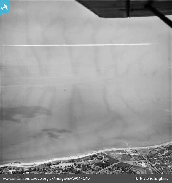
EAW044145 ENGLAND (1952). The beach and Thames Estuary, Sheerness, from the south-west, 1952. This image was marked by Aerofilms Ltd for photo editing.
© Copyright OpenStreetMap contributors and licensed by the OpenStreetMap Foundation. 2026. Cartography is licensed as CC BY-SA.
Nearby Images (2)
EAW044145

EAW038204

Details
| Title | [EAW044145] The beach and Thames Estuary, Sheerness, from the south-west, 1952. This image was marked by Aerofilms Ltd for photo editing. |
| Reference | EAW044145 |
| Date | 16-June-1952 |
| Link | |
| Place name | SHEERNESS |
| Parish | |
| District | |
| Country | ENGLAND |
| Easting / Northing | 592051, 175705 |
| Longitude / Latitude | 0.76411081596406, 51.447226566906 |
| National Grid Reference | TQ921757 |
Pins
Be the first to add a comment to this image!