
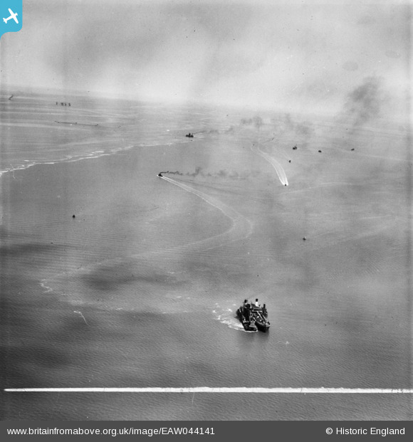
EAW044141 ENGLAND (1952). Dredgers (James No. 82) in the Thames Estuary between Sheerness and Red Sand Tower, Sheerness, from the north-east, 1952. This image was marked by Aerofilms Ltd for photo editing.
© Copyright OpenStreetMap contributors and licensed by the OpenStreetMap Foundation. 2026. Cartography is licensed as CC BY-SA.
Nearby Images (2)
EAW044141

 0°
0m
EAW044138
 137°
304m
Details
| Title | [EAW044141] Dredgers (James No. 82) in the Thames Estuary between Sheerness and Red Sand Tower, Sheerness, from the north-east, 1952. This image was marked by Aerofilms Ltd for photo editing. |
| Reference | EAW044141 |
| Date | 16-June-1952 |
| Link | |
| Place name | SHEERNESS |
| Parish | |
| District | |
| Country | ENGLAND |
| Easting / Northing | 592800, 176986 |
| Longitude / Latitude | 0.77557548226059, 51.458478029739 |
| National Grid Reference | TQ928770 |
Pins
 2ndWW Redsand Fort. Designed by Guy Maunsell, they provided platforms for anti-aircraft, and shipping, defences. Comprising a a central tower with radar fitted, four outer towers with an AAA gun, a remote tower with a searchlight fitted and one fitted with two Bofors LAA guns. |

redmist |
Monday 16th of November 2026 11:04:55 AM |