
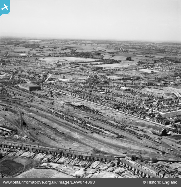
EAW044098 ENGLAND (1952). Wetmore Sidings, Burton upon Trent, from the east, 1952
© Copyright OpenStreetMap contributors and licensed by the OpenStreetMap Foundation. 2026. Cartography is licensed as CC BY-SA.
Nearby Images (2)
EAW044098

EPW020888

Details
| Title | [EAW044098] Wetmore Sidings, Burton upon Trent, from the east, 1952 |
| Reference | EAW044098 |
| Date | 10-June-1952 |
| Link | |
| Place name | BURTON UPON TRENT |
| Parish | BURTON |
| District | |
| Country | ENGLAND |
| Easting / Northing | 425231, 324434 |
| Longitude / Latitude | -1.6255856044833, 52.816524621386 |
| National Grid Reference | SK252244 |
Pins

Gudello |
Thursday 5th of February 2026 05:32:45 PM | |
|
Dave Harris |
Friday 10th of February 2017 11:05:26 PM | |
|
Dave Harris |
Friday 10th of February 2017 11:03:15 PM | |
|
Dave Harris |
Friday 10th of February 2017 11:01:35 PM | |
|
Dave Harris |
Friday 10th of February 2017 11:01:31 PM | |
|
1873ShobnallMaltings |
Saturday 26th of March 2016 11:52:27 AM |