
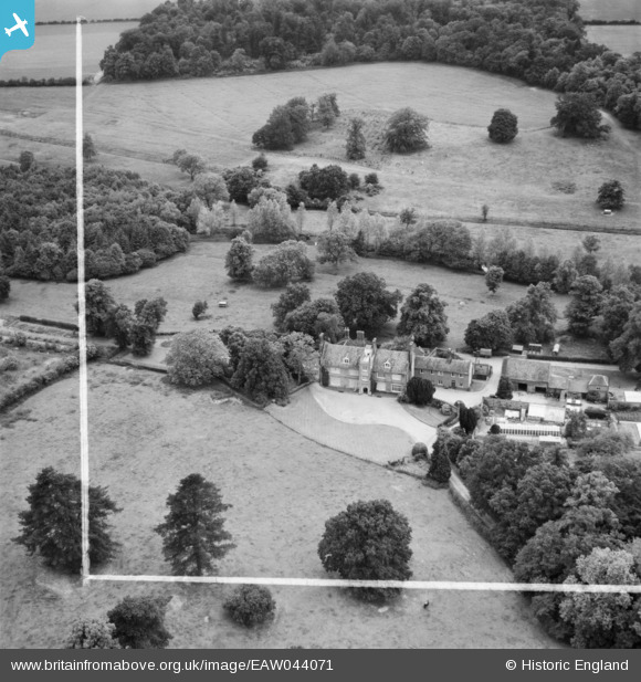
EAW044071 ENGLAND (1952). Thorpland Hall, Fakenham, 1952. This image was marked by Aerofilms Ltd for photo editing.
© Copyright OpenStreetMap contributors and licensed by the OpenStreetMap Foundation. 2025. Cartography is licensed as CC BY-SA.
Nearby Images (6)
EAW044071

EAW044070

EAW044074

EAW044072

EAW044073

EAW044075

Details
| Title | [EAW044071] Thorpland Hall, Fakenham, 1952. This image was marked by Aerofilms Ltd for photo editing. |
| Reference | EAW044071 |
| Date | 12-June-1952 |
| Link | |
| Place name | FAKENHAM |
| Parish | FAKENHAM |
| District | |
| Country | ENGLAND |
| Easting / Northing | 593624, 332205 |
| Longitude / Latitude | 0.87594764979542, 52.852143914215 |
| National Grid Reference | TF936322 |
Pins
Be the first to add a comment to this image!