
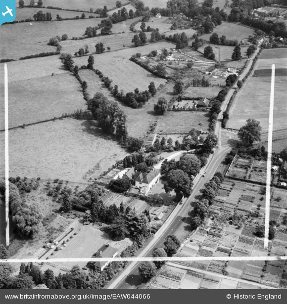
EAW044066 ENGLAND (1952). The Red House and environs, Alveston, 1952. This image was marked by Aerofilms Ltd for photo editing.
© Copyright OpenStreetMap contributors and licensed by the OpenStreetMap Foundation. 2025. Cartography is licensed as CC BY-SA.
Nearby Images (7)
EAW044066

EAW044067

EAW044068

EAW044069

EAW044065

EAW044063

EAW044064

Details
| Title | [EAW044066] The Red House and environs, Alveston, 1952. This image was marked by Aerofilms Ltd for photo editing. |
| Reference | EAW044066 |
| Date | 16-June-1952 |
| Link | |
| Place name | ALVESTON |
| Parish | STRATFORD-UPON-AVON |
| District | |
| Country | ENGLAND |
| Easting / Northing | 422772, 256207 |
| Longitude / Latitude | -1.666747561156, 52.203218258062 |
| National Grid Reference | SP228562 |
Pins
Be the first to add a comment to this image!