
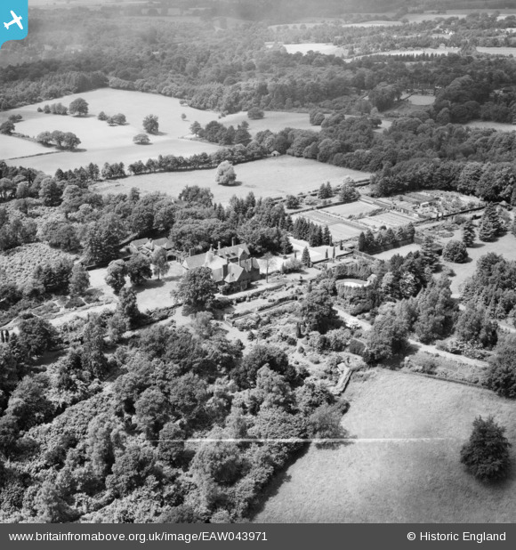
EAW043971 ENGLAND (1952). Hascombe Court and the surrounding countryside, Busbridge, 1952. This image was marked by Aerofilms Ltd for photo editing.
© Copyright OpenStreetMap contributors and licensed by the OpenStreetMap Foundation. 2025. Cartography is licensed as CC BY-SA.
Nearby Images (8)
EAW043971

EAW043966

EAW043965

EAW043967

EAW043968

EAW043970

EAW043972

EAW043969

Details
| Title | [EAW043971] Hascombe Court and the surrounding countryside, Busbridge, 1952. This image was marked by Aerofilms Ltd for photo editing. |
| Reference | EAW043971 |
| Date | 10-June-1952 |
| Link | |
| Place name | BUSBRIDGE |
| Parish | BUSBRIDGE |
| District | |
| Country | ENGLAND |
| Easting / Northing | 499310, 139961 |
| Longitude / Latitude | -0.5799720503909, 51.149758137425 |
| National Grid Reference | SU993400 |
Pins
Be the first to add a comment to this image!