
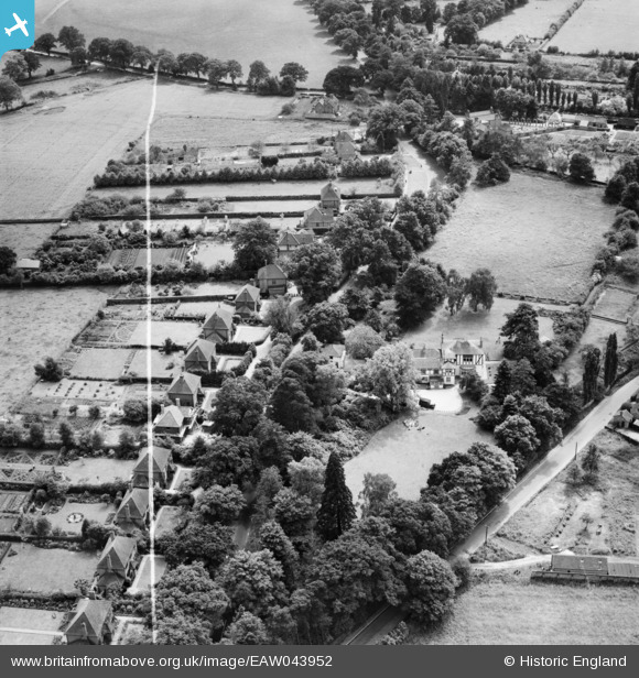
EAW043952 ENGLAND (1952). White House Preparatory School and the surrounding area, Eastheath, 1952. This image was marked by Aerofilms Ltd for photo editing.
© Copyright OpenStreetMap contributors and licensed by the OpenStreetMap Foundation. 2026. Cartography is licensed as CC BY-SA.
Nearby Images (7)
EAW043952

EAW043953

EAW043950

EAW043954

EAW043948

EAW043949

EAW043951

Details
| Title | [EAW043952] White House Preparatory School and the surrounding area, Eastheath, 1952. This image was marked by Aerofilms Ltd for photo editing. |
| Reference | EAW043952 |
| Date | 10-June-1952 |
| Link | |
| Place name | EASTHEATH |
| Parish | WOKINGHAM |
| District | |
| Country | ENGLAND |
| Easting / Northing | 480481, 167002 |
| Longitude / Latitude | -0.84305087347755, 51.395842945584 |
| National Grid Reference | SU805670 |
Pins
Be the first to add a comment to this image!