
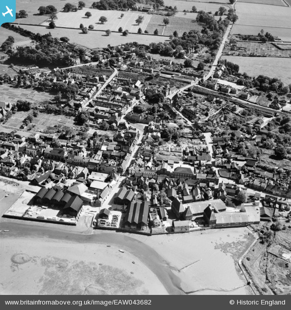
EAW043682 ENGLAND (1952). The waterfront and town, Manningtree, 1952
© Copyright OpenStreetMap contributors and licensed by the OpenStreetMap Foundation. 2026. Cartography is licensed as CC BY-SA.
Nearby Images (10)
EAW043682

EAW043685

EPW018544

EAW043683

EAW043684

EPW049129

EAW031070

EAW031073

EPW018542

EAW031072

Details
| Title | [EAW043682] The waterfront and town, Manningtree, 1952 |
| Reference | EAW043682 |
| Date | 4-June-1952 |
| Link | |
| Place name | MANNINGTREE |
| Parish | MANNINGTREE |
| District | |
| Country | ENGLAND |
| Easting / Northing | 610659, 231815 |
| Longitude / Latitude | 1.0654226426007, 51.94444947963 |
| National Grid Reference | TM107318 |
Pins
Be the first to add a comment to this image!