
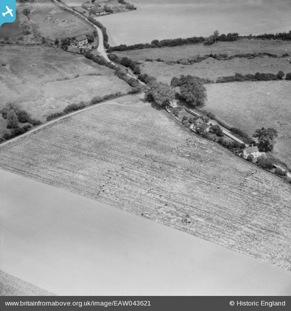
EAW043621 ENGLAND (1952). Farm workers in a field to the south of Walthambury Farm, Waltham Bury, 1952
© Copyright OpenStreetMap contributors and licensed by the OpenStreetMap Foundation. 2025. Cartography is licensed as CC BY-SA.
Nearby Images (2)
EAW043621

EAW043714

Details
| Title | [EAW043621] Farm workers in a field to the south of Walthambury Farm, Waltham Bury, 1952 |
| Reference | EAW043621 |
| Date | 4-June-1952 |
| Link | |
| Place name | WALTHAM BURY |
| Parish | GREAT WALTHAM |
| District | |
| Country | ENGLAND |
| Easting / Northing | 568865, 213826 |
| Longitude / Latitude | 0.44913130524627, 51.797101280508 |
| National Grid Reference | TL689138 |
Pins
Be the first to add a comment to this image!