
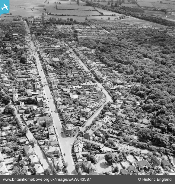
EAW043587 ENGLAND (1952). Queen's Road and Princes Road, Buckhurst Hill, 1952
© Copyright OpenStreetMap contributors and licensed by the OpenStreetMap Foundation. 2026. Cartography is licensed as CC BY-SA.
Nearby Images (3)
EAW043587

EAW043586

EAW043585

Details
| Title | [EAW043587] Queen's Road and Princes Road, Buckhurst Hill, 1952 |
| Reference | EAW043587 |
| Date | 4-June-1952 |
| Link | |
| Place name | BUCKHURST HILL |
| Parish | BUCKHURST HILL |
| District | |
| Country | ENGLAND |
| Easting / Northing | 541175, 193789 |
| Longitude / Latitude | 0.039713990186175, 51.624716690677 |
| National Grid Reference | TQ412938 |
Pins

Steve |
Wednesday 27th of May 2020 11:46:49 PM | |

somoody |
Tuesday 17th of December 2019 09:25:27 PM | |
|
martin |
Friday 19th of June 2015 07:24:36 PM | |
|
martin |
Friday 19th of June 2015 07:21:56 PM | |
|
martin |
Saturday 26th of July 2014 02:51:55 PM |