
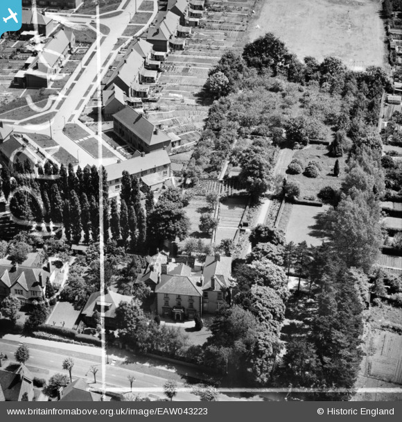
EAW043223 ENGLAND (1952). Prospect House, Rushden, 1952. This image was marked by Aerofilms Ltd for photo editing.
© Copyright OpenStreetMap contributors and licensed by the OpenStreetMap Foundation. 2026. Cartography is licensed as CC BY-SA.
Nearby Images (6)
EAW043223

EAW043218

EAW043219

EAW043222

EAW043220

EAW043221

Details
| Title | [EAW043223] Prospect House, Rushden, 1952. This image was marked by Aerofilms Ltd for photo editing. |
| Reference | EAW043223 |
| Date | 21-May-1952 |
| Link | |
| Place name | RUSHDEN |
| Parish | RUSHDEN |
| District | |
| Country | ENGLAND |
| Easting / Northing | 495867, 267875 |
| Longitude / Latitude | -0.59395562967909, 52.300230805129 |
| National Grid Reference | SP959679 |
Pins
Be the first to add a comment to this image!