
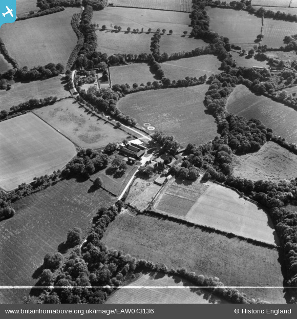
EAW043136 ENGLAND (1952). Sleeches, High Hurstwood, 1952. This image has been produced from a print marked by Aerofilms Ltd for photo editing.
© Copyright OpenStreetMap contributors and licensed by the OpenStreetMap Foundation. 2025. Cartography is licensed as CC BY-SA.
Nearby Images (9)
EAW043136

EAW043139

EAW043143

EAW043142

EAW043138

EAW043135

EAW043137

EAW043141

EAW043140

Details
| Title | [EAW043136] Sleeches, High Hurstwood, 1952. This image has been produced from a print marked by Aerofilms Ltd for photo editing. |
| Reference | EAW043136 |
| Date | 21-May-1952 |
| Link | |
| Place name | HIGH HURSTWOOD |
| Parish | BUXTED |
| District | |
| Country | ENGLAND |
| Easting / Northing | 550719, 125931 |
| Longitude / Latitude | 0.14880981911113, 51.012443837153 |
| National Grid Reference | TQ507259 |
Pins
Be the first to add a comment to this image!