
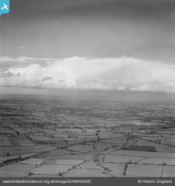
EAW042942 ENGLAND (1952). Cloudscape, Knightcote, from the south-east, 1952
© Copyright OpenStreetMap contributors and licensed by the OpenStreetMap Foundation. 2026. Cartography is licensed as CC BY-SA.
Nearby Images (2)
EAW042942

EAW042937

Details
| Title | [EAW042942] Cloudscape, Knightcote, from the south-east, 1952 |
| Reference | EAW042942 |
| Date | 5-July-1952 |
| Link | |
| Place name | KNIGHTCOTE |
| Parish | BURTON DASSETT |
| District | |
| Country | ENGLAND |
| Easting / Northing | 441245, 254660 |
| Longitude / Latitude | -1.3966089885308, 52.188236270317 |
| National Grid Reference | SP412547 |
Pins

Class31 |
Sunday 27th of April 2014 11:44:20 AM | |
|
Class31 |
Sunday 27th of April 2014 11:41:23 AM | |
|
Class31 |
Sunday 27th of April 2014 11:40:48 AM | |
|
Class31 |
Sunday 27th of April 2014 11:40:24 AM | |
|
Class31 |
Sunday 27th of April 2014 11:39:46 AM | |
|
Class31 |
Sunday 27th of April 2014 11:39:10 AM | |
|
Class31 |
Sunday 27th of April 2014 11:37:53 AM | |
|
Class31 |
Sunday 27th of April 2014 11:37:19 AM | |
Thanks Class31, we'll update the catalogue and post the new details here in due course. Yours, Katy Britain from Above Cataloguing Team Leader |
Katy Whitaker |
Tuesday 29th of April 2014 05:11:29 PM |
