
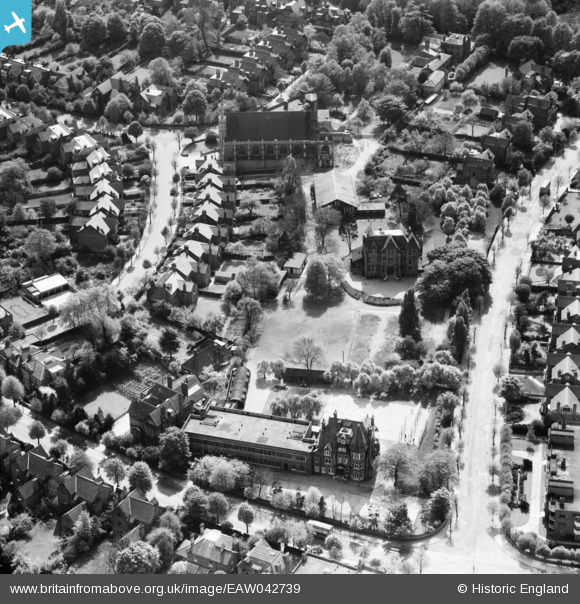
EAW042739 ENGLAND (1952). St Benedict's Church and School, Ealing, 1952
© Copyright OpenStreetMap contributors and licensed by the OpenStreetMap Foundation. 2026. Cartography is licensed as CC BY-SA.
Nearby Images (8)
EAW042739

EAW042737

EAW042734

EAW042735

EAW042736

EAW042738

EAW042740

EAW042733

Details
| Title | [EAW042739] St Benedict's Church and School, Ealing, 1952 |
| Reference | EAW042739 |
| Date | 29-April-1952 |
| Link | |
| Place name | EALING |
| Parish | |
| District | |
| Country | ENGLAND |
| Easting / Northing | 517500, 181533 |
| Longitude / Latitude | -0.30626791827408, 51.519997161033 |
| National Grid Reference | TQ175815 |
