
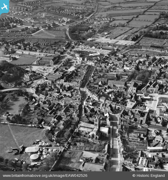
EAW042526 ENGLAND (1952). St Mary's Church and the town centre, Melton Mowbray, 1952
© Copyright OpenStreetMap contributors and licensed by the OpenStreetMap Foundation. 2026. Cartography is licensed as CC BY-SA.
Nearby Images (12)
EAW042526

EPW058210

EPW058214

EAW042527

EAW049205

EPW014945

EPW014943

EAW049204

EPW014946

EAW042528

EPW014944

EPW058212

Details
| Title | [EAW042526] St Mary's Church and the town centre, Melton Mowbray, 1952 |
| Reference | EAW042526 |
| Date | 17-April-1952 |
| Link | |
| Place name | MELTON MOWBRAY |
| Parish | |
| District | |
| Country | ENGLAND |
| Easting / Northing | 475159, 319190 |
| Longitude / Latitude | -0.88598807375964, 52.764738454518 |
| National Grid Reference | SK752192 |
Pins

Ash |
Thursday 4th of July 2019 07:38:51 PM |