
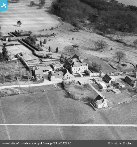
EAW042290 ENGLAND (1952). South Park, Bletchingley, 1952
© Copyright OpenStreetMap contributors and licensed by the OpenStreetMap Foundation. 2025. Cartography is licensed as CC BY-SA.
Nearby Images (7)
EAW042290

EAW042286

EAW042291

EAW042292

EAW042289

EAW042287

EAW042288

Details
| Title | [EAW042290] South Park, Bletchingley, 1952 |
| Reference | EAW042290 |
| Date | 9-April-1952 |
| Link | |
| Place name | BLETCHINGLEY |
| Parish | BLETCHINGLEY |
| District | |
| Country | ENGLAND |
| Easting / Northing | 534194, 148840 |
| Longitude / Latitude | -0.078111565957785, 51.222445262879 |
| National Grid Reference | TQ342488 |
Pins
Be the first to add a comment to this image!