
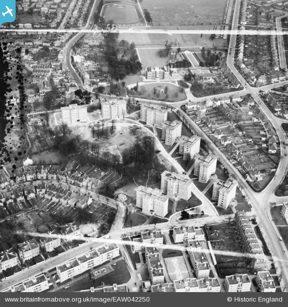
EAW042250 ENGLAND (1952). The Springfield Housing Estate, Charlton, 1952. This image was marked by Aerofilms Ltd for photo editing.
© Copyright OpenStreetMap contributors and licensed by the OpenStreetMap Foundation. 2026. Cartography is licensed as CC BY-SA.
Nearby Images (14)
EAW042250

EAW042241

EAW042243

EAW042248

EAW042242

EAW042245

EAW042247

EAW042246

EAW042249

EAW042244

EAW005424

EAW005426

EAW005423

EAW005427

Details
| Title | [EAW042250] The Springfield Housing Estate, Charlton, 1952. This image was marked by Aerofilms Ltd for photo editing. |
| Reference | EAW042250 |
| Date | 7-April-1952 |
| Link | |
| Place name | CHARLTON |
| Parish | |
| District | |
| Country | ENGLAND |
| Easting / Northing | 541368, 177727 |
| Longitude / Latitude | 0.036043679840377, 51.480323445382 |
| National Grid Reference | TQ414777 |
Pins
Be the first to add a comment to this image!