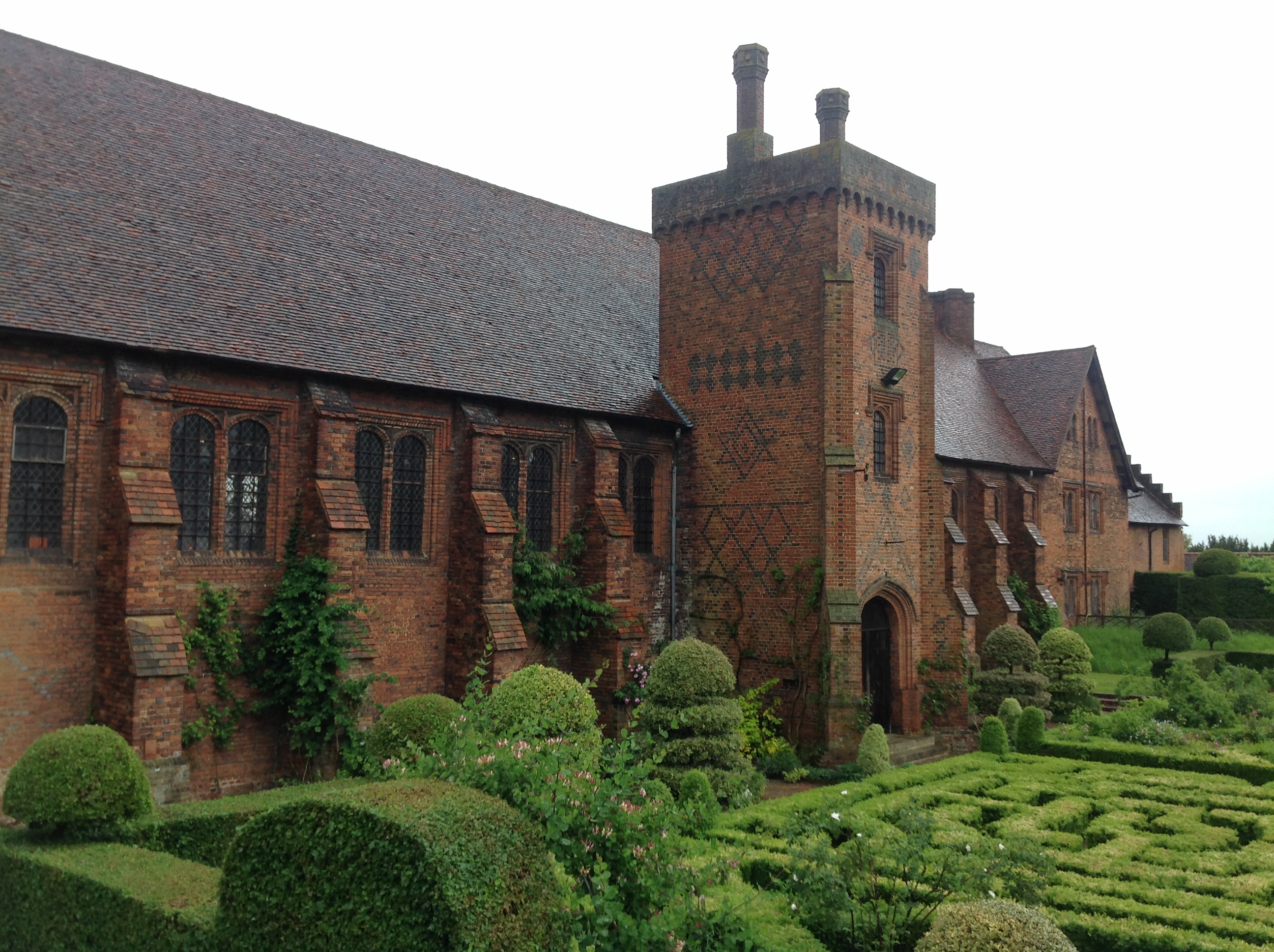
EAW042111 ENGLAND (1952). Hatfield House, Hatfield, 1952

© Copyright OpenStreetMap contributors and licensed by the OpenStreetMap Foundation. 2026. Cartography is licensed as CC BY-SA.
Nearby Images (36)
EAW042111

EAW049360

EAW050562

EAW036788

EAW049358

EAW014166

EPW022351

EAW014164

EAW042110

EAW014160

EAW042106

EAW014163

EAW042109

EAW049359

EAW014165

EAW053188

EPW025381

EAW014162

EAW014167

EAW014161

EAW053002

EAW053192

EAW049356

EAW050561

EAW042107

EAW049355

EAW049357

EAW050563

EAW042108

EAW053189

EAW053190

EAW049361

EAW053191

EAW049354

EPW025380

EAW053193

Details
| Title | [EAW042111] Hatfield House, Hatfield, 1952 |
| Reference | EAW042111 |
| Date | 27-March-1952 |
| Link | |
| Place name | HATFIELD |
| Parish | HATFIELD |
| District | |
| Country | ENGLAND |
| Easting / Northing | 523782, 208351 |
| Longitude / Latitude | -0.20627308487567, 51.759692848304 |
| National Grid Reference | TL238084 |
Pins
Be the first to add a comment to this image!