
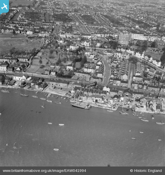
EAW041994 ENGLAND (1952). Theobald's Wharf and Hadleigh Road, Leigh-on-Sea, 1952
© Copyright OpenStreetMap contributors and licensed by the OpenStreetMap Foundation. 2026. Cartography is licensed as CC BY-SA.
Nearby Images (15)
EAW041994

EPW037013

EPW036707

EPW036990

EPW036988

EPW058499

EAW041992

EAW041993

EPW040974

EPW032900

EPW036735

EAW024658

EPW000546

EPW036987

EPW000547

Details
| Title | [EAW041994] Theobald's Wharf and Hadleigh Road, Leigh-on-Sea, 1952 |
| Reference | EAW041994 |
| Date | 14-March-1952 |
| Link | |
| Place name | LEIGH-ON-SEA |
| Parish | LEIGH-ON-SEA |
| District | |
| Country | ENGLAND |
| Easting / Northing | 583827, 185737 |
| Longitude / Latitude | 0.65111099799762, 51.540072528267 |
| National Grid Reference | TQ838857 |
Pins
Be the first to add a comment to this image!