
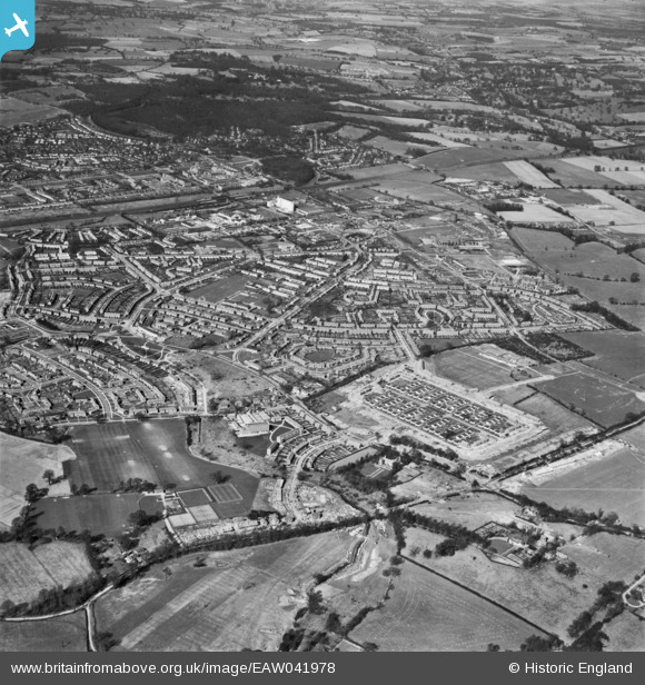
EAW041978 ENGLAND (1952). The Peartree area and environs, Peartree, 1952
© Copyright OpenStreetMap contributors and licensed by the OpenStreetMap Foundation. 2026. Cartography is licensed as CC BY-SA.
Nearby Images (7)
EAW041978

EPW047374

EPW054539

EPW047355

EPW047371

EPW047372

EPW062047

Details
| Title | [EAW041978] The Peartree area and environs, Peartree, 1952 |
| Reference | EAW041978 |
| Date | 14-March-1952 |
| Link | |
| Place name | PEARTREE |
| Parish | |
| District | |
| Country | ENGLAND |
| Easting / Northing | 524809, 212153 |
| Longitude / Latitude | -0.19003176421927, 51.793635707338 |
| National Grid Reference | TL248122 |
Pins
Be the first to add a comment to this image!