
EAW041949 ENGLAND (1952). St Giles' Circus and Bedford Square, Bloomsbury, 1952

© Copyright OpenStreetMap contributors and licensed by the OpenStreetMap Foundation. 2026. Cartography is licensed as CC BY-SA.
Nearby Images (23)
EAW041949

EAW041943

EAW041948

EAW041947

EAW050834

EAW050848

EAW050857

EPW006168

EAW041944

EPW005134

EAW050858

EAW052493

EPW006159

EAW018341

EAW030117

EPW020960

EAW052492

EPW020959

EPW005920

EPW039567

EAW041950

EPW008741

EPW039568

Details
| Title | [EAW041949] St Giles' Circus and Bedford Square, Bloomsbury, 1952 |
| Reference | EAW041949 |
| Date | 14-March-1952 |
| Link | |
| Place name | BLOOMSBURY |
| Parish | |
| District | |
| Country | ENGLAND |
| Easting / Northing | 529877, 181471 |
| Longitude / Latitude | -0.12797708986061, 51.516729211115 |
| National Grid Reference | TQ299815 |
Pins

Alan McFaden |
Monday 9th of June 2014 10:18:35 AM | |

Class31 |
Tuesday 13th of May 2014 08:18:02 AM | |
|
Class31 |
Tuesday 13th of May 2014 08:17:40 AM | |
|
Class31 |
Tuesday 13th of May 2014 08:17:20 AM | |
|
Class31 |
Tuesday 13th of May 2014 08:17:02 AM | |
|
Class31 |
Tuesday 13th of May 2014 08:16:45 AM | |
|
Class31 |
Tuesday 13th of May 2014 08:15:05 AM |

User Comment Contributions
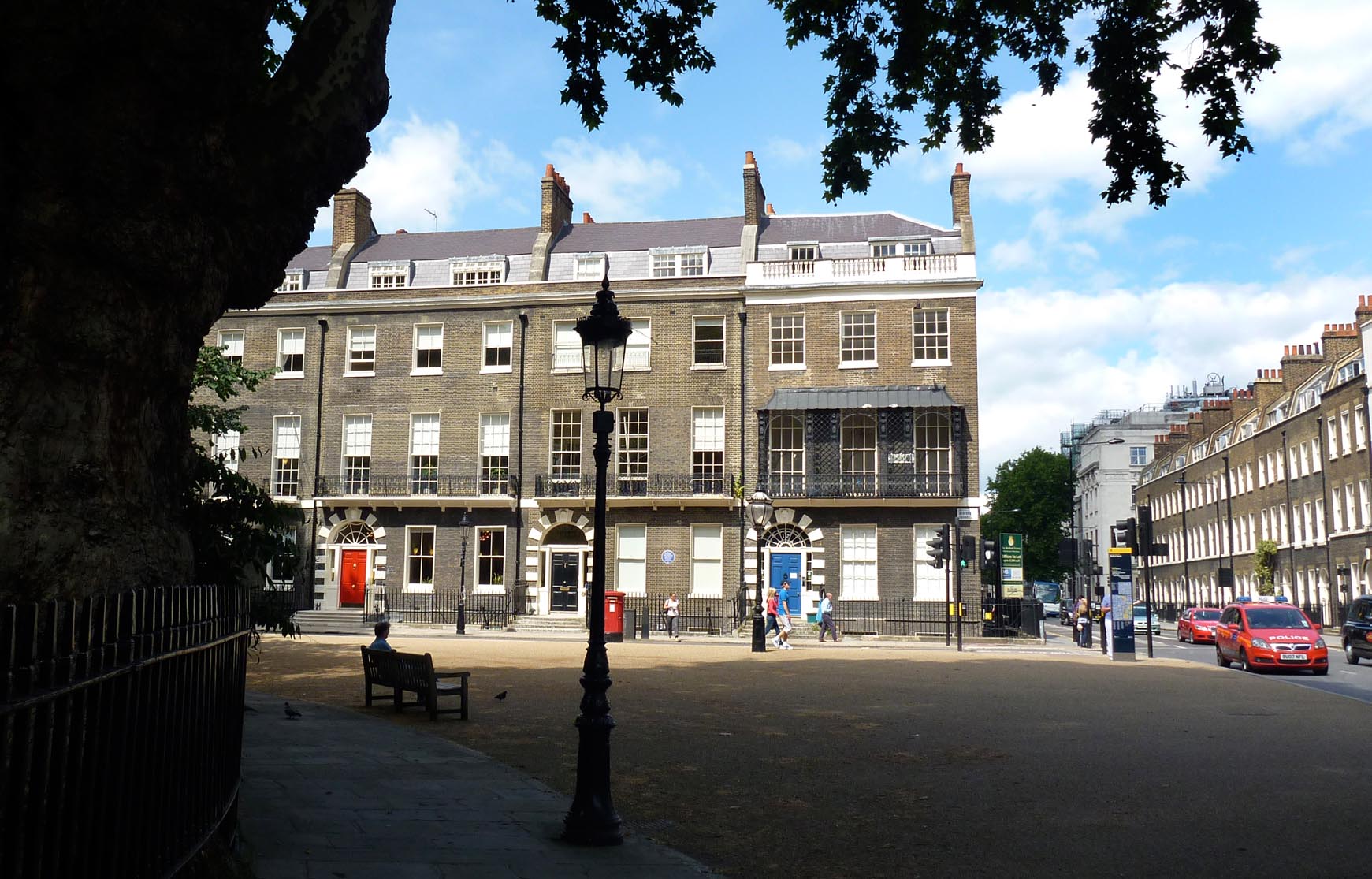
Bedford Square |
Alan McFaden |
Wednesday 24th of December 2014 07:48:35 PM |
View looking north. |
Class31 |
Tuesday 13th of May 2014 08:19:28 AM |