
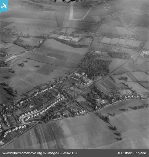
EAW041167 ENGLAND (1951). Butterwick Wood and environs, Colney Heath, 1951. This image has been produced from a damaged negative.
© Copyright OpenStreetMap contributors and licensed by the OpenStreetMap Foundation. 2026. Cartography is licensed as CC BY-SA.
Nearby Images (2)
EAW041167

EAW041165

Details
| Title | [EAW041167] Butterwick Wood and environs, Colney Heath, 1951. This image has been produced from a damaged negative. |
| Reference | EAW041167 |
| Date | 1-November-1951 |
| Link | |
| Place name | COLNEY HEATH |
| Parish | COLNEY HEATH |
| District | |
| Country | ENGLAND |
| Easting / Northing | 518665, 207220 |
| Longitude / Latitude | -0.28077298911332, 51.75063520523 |
| National Grid Reference | TL187072 |
Pins

Mark |
Friday 20th of November 2020 05:55:41 PM | |
|
gBr |
Monday 1st of May 2017 09:49:46 PM |