
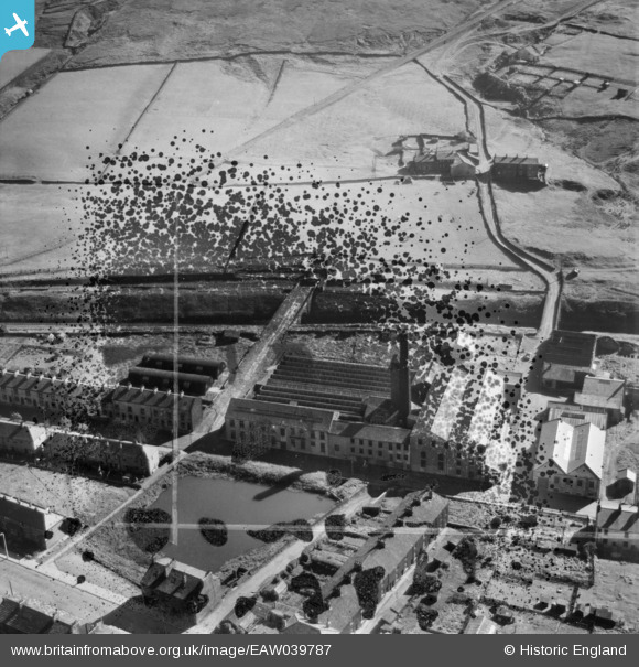
EAW039787 ENGLAND (1951). The Britannia Mill, Britannia, 1951. This image has been produced from a damaged negative.
© Copyright OpenStreetMap contributors and licensed by the OpenStreetMap Foundation. 2026. Cartography is licensed as CC BY-SA.
Nearby Images (2)
EAW039787

EAW039788

Details
| Title | [EAW039787] The Britannia Mill, Britannia, 1951. This image has been produced from a damaged negative. |
| Reference | EAW039787 |
| Date | 15-September-1951 |
| Link | |
| Place name | BRITANNIA |
| Parish | |
| District | |
| Country | ENGLAND |
| Easting / Northing | 388044, 421513 |
| Longitude / Latitude | -2.1810701823112, 53.689702393935 |
| National Grid Reference | SD880215 |
Pins
Be the first to add a comment to this image!