
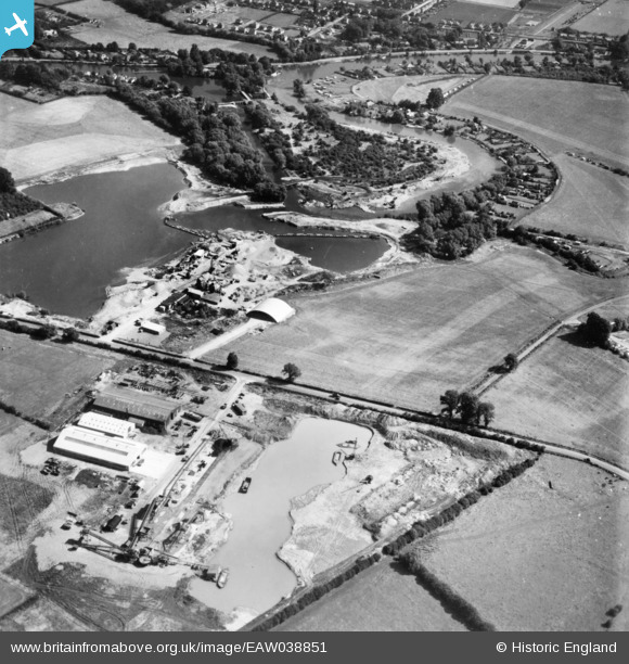
EAW038851 ENGLAND (1951). The Penton Hook Yacht Basin under construction, Penton Hook, 1951. This image has been produced from a print.
© Copyright OpenStreetMap contributors and licensed by the OpenStreetMap Foundation. 2026. Cartography is licensed as CC BY-SA.
Nearby Images (12)
EAW038851

EAW038853

EAW038864

EAW038857

EAW038852

EAW038859

EAW038865

EAW003690

EAW038858

EAW038863

EAW038854

EAW038849

Details
| Title | [EAW038851] The Penton Hook Yacht Basin under construction, Penton Hook, 1951. This image has been produced from a print. |
| Reference | EAW038851 |
| Date | 16-August-1951 |
| Link | |
| Place name | PENTON HOOK |
| Parish | |
| District | |
| Country | ENGLAND |
| Easting / Northing | 503992, 168905 |
| Longitude / Latitude | -0.50462183714543, 51.409127101584 |
| National Grid Reference | TQ040689 |
Pins
Be the first to add a comment to this image!