
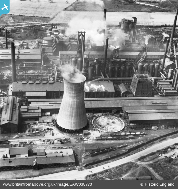
EAW038773 ENGLAND (1951). Part of the John Lysaght Ltd Normanby Park Steel Works, Scunthorpe, 1951. This image has been produced from a print.
© Copyright OpenStreetMap contributors and licensed by the OpenStreetMap Foundation. 2026. Cartography is licensed as CC BY-SA.
Nearby Images (48)
EAW049666

EAW028567

EPW016304

EPW048525

EAW031186

EAW031185

EPW048949

EAW027175

EAW028573

EAW016667

EAW027172

EAW009629

EAW049672

EAW027186

EAW041849

EPW048531

EAW049670

EAW041845

EAW034800

EAW027173

EAW041851

EPW048943

EPW048524

EAW031188

EAW031187

EAW049663

EAW016658

EAW028575

EPW048523

EAW041846

EAW034826

EAW034812

EAW041847

EAW049665

EAW038761

EAW034824

EAW031173

EAW038778

EAW038775

EAW028583

EAW038763

EAW041854

EPW048528

EAW041852

EAW009411

EAW038776

EAW031193

EAW027181

Details
| Title | [EAW038773] Part of the John Lysaght Ltd Normanby Park Steel Works, Scunthorpe, 1951. This image has been produced from a print. |
| Reference | EAW038773 |
| Date | 15-August-1951 |
| Link | |
| Place name | SCUNTHORPE |
| Parish | |
| District | |
| Country | ENGLAND |
| Easting / Northing | 488899, 413835 |
| Longitude / Latitude | -0.65604704807687, 53.613274239959 |
| National Grid Reference | SE889138 |
Pins
Be the first to add a comment to this image!