
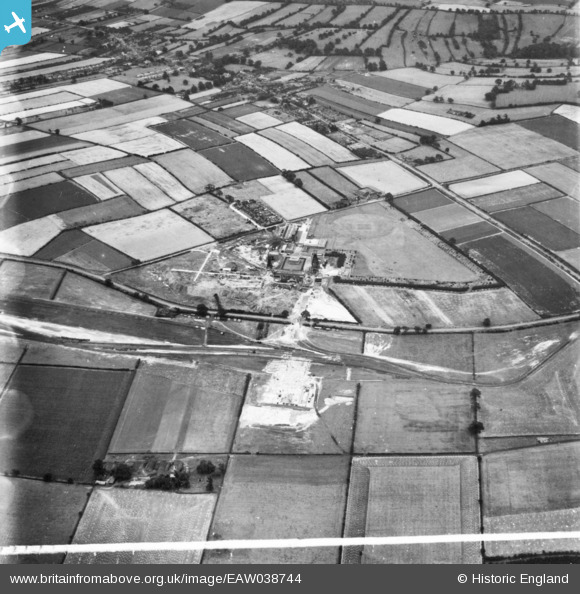
EAW038744 ENGLAND (1951). Calverton Colliery and environs, Calverton, 1951. This image has been produced from a print marked by Aerofilms Ltd for photo editing.
© Copyright OpenStreetMap contributors and licensed by the OpenStreetMap Foundation. 2026. Cartography is licensed as CC BY-SA.
Nearby Images (11)
EAW038744

EAW018745
, Calverton, 1948. This image has been produced from a print marked by Aerofilms Ltd for photo editing.")
EAW018747
, Calverton, 1948. This image has been produced from a print.")
EAW018744
, Calverton, 1948. This image has been produced from a print.")
EAW018752
, Calverton, 1948. This image has been produced from a damaged negative.")
EAW018751
, Calverton, 1948. This image has been produced from a damaged negative.")
EAW018746
, Calverton, 1948. This image has been produced from a print marked by Aerofilms Ltd for photo editing.")
EAW018748
, Calverton, 1948. This image has been produced from a print marked by Aerofilms Ltd for photo editing.")
EAW018750
, Calverton, 1948. This image has been produced from a print marked by Aerofilms Ltd for photo editing.")
EAW018749
, Calverton, from the south-east, 1948. This image has been produced from a print.")
EAW038745

Details
| Title | [EAW038744] Calverton Colliery and environs, Calverton, 1951. This image has been produced from a print marked by Aerofilms Ltd for photo editing. |
| Reference | EAW038744 |
| Date | 14-August-1951 |
| Link | |
| Place name | CALVERTON |
| Parish | CALVERTON |
| District | |
| Country | ENGLAND |
| Easting / Northing | 460275, 350216 |
| Longitude / Latitude | -1.1008102991042, 53.045505501911 |
| National Grid Reference | SK603502 |
Pins
Be the first to add a comment to this image!