
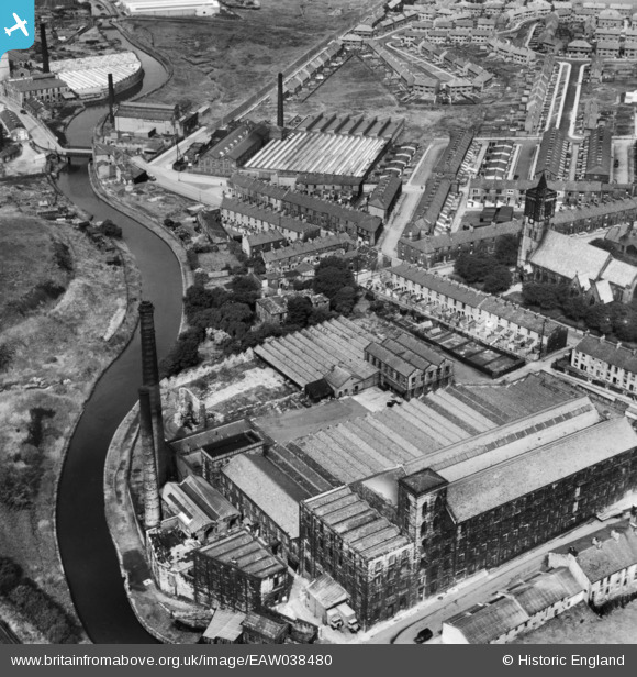
EAW038480 ENGLAND (1951). The Brooke Bond and Co Yatefield Mill and environs, Burnley, 1951. This image has been produced from a print.
© Copyright OpenStreetMap contributors and licensed by the OpenStreetMap Foundation. 2026. Cartography is licensed as CC BY-SA.
Nearby Images (9)
EAW038480

EAW038471

EAW038472

EAW038474

EAW038478

EAW038477

EAW038475

EAW038476

EAW039611

Details
| Title | [EAW038480] The Brooke Bond and Co Yatefield Mill and environs, Burnley, 1951. This image has been produced from a print. |
| Reference | EAW038480 |
| Date | 30-July-1951 |
| Link | |
| Place name | BURNLEY |
| Parish | |
| District | |
| Country | ENGLAND |
| Easting / Northing | 382321, 432649 |
| Longitude / Latitude | -2.2683794855159, 53.789641559112 |
| National Grid Reference | SD823326 |
