
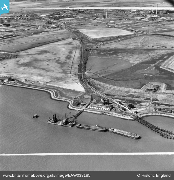
EAW038185 ENGLAND (1951). Stan Marsh, Port Victoria and environs, Isle of Grain, 1951. This image has been produced from a print marked by Aerofilms Ltd for photo editing.
© Copyright OpenStreetMap contributors and licensed by the OpenStreetMap Foundation. 2026. Cartography is licensed as CC BY-SA.
Nearby Images (13)
EAW038185

EAW038186

EAW038194

EAW038183

EAW038190

EAW048521

EAW038188

EAW038195

EAW038193

EAW038196

EAW038189

EAW038187

EAW038207

Details
| Title | [EAW038185] Stan Marsh, Port Victoria and environs, Isle of Grain, 1951. This image has been produced from a print marked by Aerofilms Ltd for photo editing. |
| Reference | EAW038185 |
| Date | 2-August-1951 |
| Link | |
| Place name | ISLE OF GRAIN |
| Parish | ISLE OF GRAIN |
| District | |
| Country | ENGLAND |
| Easting / Northing | 587700, 174048 |
| Longitude / Latitude | 0.7006857056452, 51.433801323987 |
| National Grid Reference | TQ877740 |
Pins

redmist |
Sunday 23rd of January 2022 10:57:00 PM |