
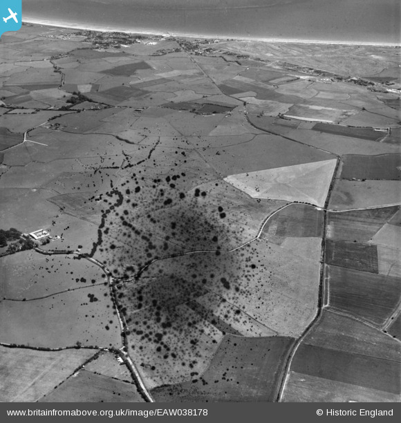
EAW038178 ENGLAND (1951). Hope Lane, New Sewer and the surrounding countryside, St Mary's Bay, 1951. This image has been produced from a damaged negative.
© Copyright OpenStreetMap contributors and licensed by the OpenStreetMap Foundation. 2026. Cartography is licensed as CC BY-SA.
Nearby Images (2)
EAW038178

EAW038179

Details
| Title | [EAW038178] Hope Lane, New Sewer and the surrounding countryside, St Mary's Bay, 1951. This image has been produced from a damaged negative. |
| Reference | EAW038178 |
| Date | 28-July-1951 |
| Link | |
| Place name | ST MARY'S BAY |
| Parish | ST. MARY IN THE MARSH |
| District | |
| Country | ENGLAND |
| Easting / Northing | 606064, 126763 |
| Longitude / Latitude | 0.93737869055728, 51.002753637672 |
| National Grid Reference | TR061268 |
Pins
Be the first to add a comment to this image!