
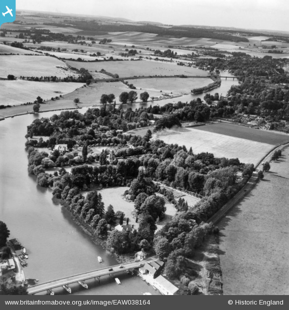
EAW038164 ENGLAND (1951). Housing off Riversdale and the surrounding countryside, Bourne End, from the south-east, 1951. This image has been produced from a print.
© Copyright OpenStreetMap contributors and licensed by the OpenStreetMap Foundation. 2025. Cartography is licensed as CC BY-SA.
Nearby Images (10)
EAW038164

EAW034767

EAW003830

EPW052601

EAW034763

EAW038165

EPW052582

EAW034761

EAW034766

EAW034765

Details
| Title | [EAW038164] Housing off Riversdale and the surrounding countryside, Bourne End, from the south-east, 1951. This image has been produced from a print. |
| Reference | EAW038164 |
| Date | 28-July-1951 |
| Link | |
| Place name | BOURNE END |
| Parish | WOOBURN |
| District | |
| Country | ENGLAND |
| Easting / Northing | 489756, 185748 |
| Longitude / Latitude | -0.70498844412985, 51.562982290059 |
| National Grid Reference | SU898857 |
Pins
Be the first to add a comment to this image!