
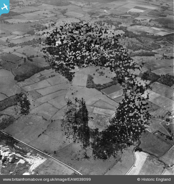
EAW038099 ENGLAND (1951). Gorse Ruffet and the countryside around Goodcheap Farm, Hinxhill, 1951. This image has been produced from a damaged negative.
© Copyright OpenStreetMap contributors and licensed by the OpenStreetMap Foundation. 2026. Cartography is licensed as CC BY-SA.
Nearby Images (2)
EAW038099

EAW038104

Details
| Title | [EAW038099] Gorse Ruffet and the countryside around Goodcheap Farm, Hinxhill, 1951. This image has been produced from a damaged negative. |
| Reference | EAW038099 |
| Date | 25-July-1951 |
| Link | |
| Place name | HINXHILL |
| Parish | WYE WITH HINXHILL |
| District | |
| Country | ENGLAND |
| Easting / Northing | 604638, 143698 |
| Longitude / Latitude | 0.92666848053457, 51.155363493597 |
| National Grid Reference | TR046437 |
Pins
Be the first to add a comment to this image!