
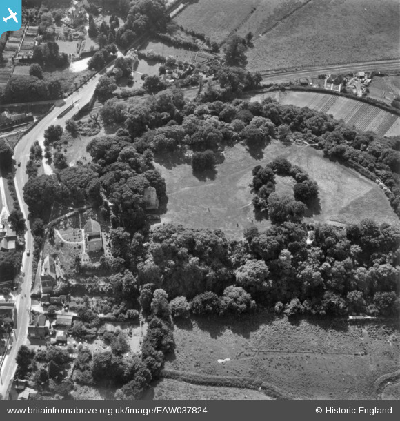
EAW037824 ENGLAND (1951). Bramber Castle, Bramber, 1951. This image has been produced from a print.
© Copyright OpenStreetMap contributors and licensed by the OpenStreetMap Foundation. 2025. Cartography is licensed as CC BY-SA.
Nearby Images (5)
EAW037824

EAW037822

EAW037823

EPW018746

EPW018749

Details
| Title | [EAW037824] Bramber Castle, Bramber, 1951. This image has been produced from a print. |
| Reference | EAW037824 |
| Date | 17-July-1951 |
| Link | |
| Place name | BRAMBER |
| Parish | BRAMBER |
| District | |
| Country | ENGLAND |
| Easting / Northing | 518570, 110674 |
| Longitude / Latitude | -0.31426791676127, 50.882820784427 |
| National Grid Reference | TQ186107 |
Pins

Matt Aldred edob.mattaldred.com |
Saturday 16th of July 2022 06:26:50 PM | |

Biggles1951 |
Monday 15th of December 2014 12:20:42 PM | |
|
Biggles1951 |
Friday 14th of November 2014 02:46:16 PM | |
|
Biggles1951 |
Friday 14th of November 2014 02:42:49 PM | |
|
Biggles1951 |
Friday 14th of November 2014 02:42:10 PM | |
|
Biggles1951 |
Friday 14th of November 2014 02:40:20 PM |